 vesseltracker.com
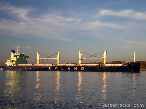
Vessel Carmencita IMO: 9403176, MMSI: 259741000 Bulk Carrier
UTC, 18.70667, -166.53500, course: -1, speed: 10
UTC, 18.77167, -166.73666, course: -1, speed: 11
2026-02-17 10:05:57 UTC, 18.93181, -167.24303, course: 290, speed: 11.1
Live AIS position:
UTC. 185 nm NE of Johnston Island),
updated 2026-02-17 10:05:57 UTC.
Find the position of the vessel Carmencita on the map. The latter are known coordinates and path.
marine traffic ship tracker show on live map
The current position of vessel Carmencita is 18.93181 lat / -167.24303 lng. Updated: 2026-02-17 10:05:57 UTCDetails:
Last coordinates of the vessel:
UTC, 18.58925, -166.15286, course: 283, speed: 10.6UTC, 18.70667, -166.53500, course: -1, speed: 10
UTC, 18.77167, -166.73666, course: -1, speed: 11
2026-02-17 10:05:57 UTC, 18.93181, -167.24303, course: 290, speed: 11.1