 vesseltracker.com
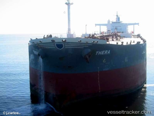
Vessel GRAFF IMO: 9215036, MMSI: 268256804 Crude Oil Tanker
UTC, 1.48500, 104.87667, course: -1, speed: 0
UTC, 1.50863, 104.83813, course: 230, speed: 1.4
2026-02-27 11:42:53 UTC, 1.47238, 104.85578, course: 234, speed: 2.6
Live AIS position:
UTC. 40 nm N of KIJANG),
updated 2026-02-27 11:42:53 UTC.
Find the position of the vessel GRAFF on the map. The latter are known coordinates and path.
marine traffic ship tracker show on live map
The current position of vessel GRAFF is 1.47238 lat / 104.85578 lng. Updated: 2026-02-27 11:42:53 UTCCurrently sailing under the flag of San Marino
Details:
Last coordinates of the vessel:
UTC, 1.49370, 104.86165, course: 200, speed: 0.4UTC, 1.48500, 104.87667, course: -1, speed: 0
UTC, 1.50863, 104.83813, course: 230, speed: 1.4
2026-02-27 11:42:53 UTC, 1.47238, 104.85578, course: 234, speed: 2.6