 vesseltracker.com
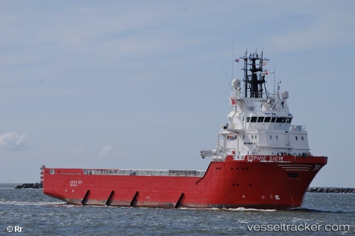
Vessel Sancar IMO: 9334545, MMSI: 271046708 Offshore Tug Supply Ship
UTC, 41.58400, 32.06814, course: 73, speed: 0
UTC, 41.58398, 32.06816, course: 73, speed: 0
2026-02-15 11:38:55 UTC, 41.58398, 32.06812, course: 73, speed: 0
Live AIS position:
UTC. Near EREN),
updated 2026-02-15 11:38:55 UTC.
Find the position of the vessel Sancar on the map. The latter are known coordinates and path.
marine traffic ship tracker show on live map
The current position of vessel Sancar is 41.58398 lat / 32.06812 lng. Updated: 2026-02-15 11:38:55 UTCDetails:
Last coordinates of the vessel:
UTC, 41.58401, 32.06812, course: 73, speed: 0UTC, 41.58400, 32.06814, course: 73, speed: 0
UTC, 41.58398, 32.06816, course: 73, speed: 0
2026-02-15 11:38:55 UTC, 41.58398, 32.06812, course: 73, speed: 0