 vesseltracker.com
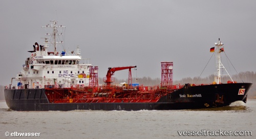
Vessel AMMOLIT IMO: 9016870, MMSI: 273213390 Oil/Chemical Tanker
UTC, 54.14048, 155.68239, course: 317, speed: 0.2
UTC, 54.14034, 155.68224, course: 323, speed: 0.2
2026-02-21 02:00:03 UTC, 54.15173, 155.76479, course: 65, speed: 7.2
Live AIS position:
UTC. 52 nm S of Krutogorovo),
updated 2026-02-21 02:00:03 UTC.
Find the position of the vessel AMMOLIT on the map. The latter are known coordinates and path.
marine traffic ship tracker show on live map
The current position of vessel AMMOLIT is 54.15173 lat / 155.76479 lng. Updated: 2026-02-21 02:00:03 UTCCurrently sailing under the flag of Russia
AMMOLIT built in 1995 year
Deadweight:
5797 tDetails:
Last coordinates of the vessel:
UTC, 54.15167, 155.78168, course: -1, speed: 0UTC, 54.14048, 155.68239, course: 317, speed: 0.2
UTC, 54.14034, 155.68224, course: 323, speed: 0.2
2026-02-21 02:00:03 UTC, 54.15173, 155.76479, course: 65, speed: 7.2