 vesseltracker.com
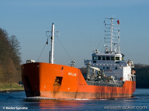
Vessel SOLSTRAUM IMO: 9157014, MMSI: 273291710 Chemical Tanker
UTC, 59.88356, 30.22438, course: 194, speed: 0
UTC, 59.88356, 30.22446, course: 194, speed: 0.1
2026-01-28 01:48:56 UTC, 59.88333, 30.22333, course: -1, speed: 0
Live AIS position:
UTC. Near Saint Petersburg (ex Leningrad)),
updated 2026-01-28 01:48:56 UTC.
Find the position of the vessel SOLSTRAUM on the map. The latter are known coordinates and path.
marine traffic ship tracker show on live map
The current position of vessel SOLSTRAUM is 59.88333 lat / 30.22333 lng. Updated: 2026-01-28 01:48:56 UTCCurrently sailing under the flag of Russia
SOLSTRAUM built in 2000 year
Deadweight:
3046 tDetails:
Last coordinates of the vessel:
UTC, 59.88357, 30.22448, course: 194, speed: 0.1UTC, 59.88356, 30.22438, course: 194, speed: 0
UTC, 59.88356, 30.22446, course: 194, speed: 0.1
2026-01-28 01:48:56 UTC, 59.88333, 30.22333, course: -1, speed: 0