 vesseltracker.com
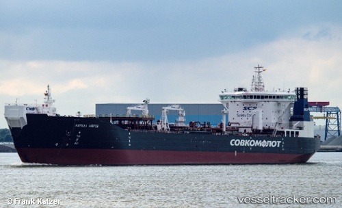
Vessel KIRILL LAVROV IMO: 9333682, MMSI: 273345750 Crude Oil Tanker
UTC, 68.44120, 49.68207, course: 76, speed: 14.1
UTC, 68.59094, 50.35359, course: 44, speed: 10.1
2026-02-04 22:39:04 UTC, 68.71666, 50.69499, course: 43, speed: 10.1
Live AIS position:
UTC. 40 nm SE of Kolguyev Island),
updated 2026-02-04 22:39:04 UTC.
Find the position of the vessel KIRILL LAVROV on the map. The latter are known coordinates and path.
marine traffic ship tracker show on live map
The current position of vessel KIRILL LAVROV is 68.71666 lat / 50.69499 lng. Updated: 2026-02-04 22:39:04 UTCCurrently sailing under the flag of Russia
KIRILL LAVROV built in 2010 year
Deadweight:
69308 tDetails:
Last coordinates of the vessel:
UTC, 68.45004, 48.49776, course: 107, speed: 14.1UTC, 68.44120, 49.68207, course: 76, speed: 14.1
UTC, 68.59094, 50.35359, course: 44, speed: 10.1
2026-02-04 22:39:04 UTC, 68.71666, 50.69499, course: 43, speed: 10.1