 vesseltracker.com
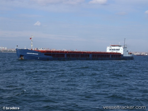
Vessel Rostov na donu IMO: 8971190, MMSI: 273429570 General Cargo Ship
UTC, 47.12500, 39.34833, course: -1, speed: 1
UTC, 47.12500, 39.34833, course: -1, speed: 0
2026-02-10 16:34:03 UTC, 47.12500, 39.34833, course: -1, speed: 0
Live AIS position:
UTC. Near Azov),
updated 2026-02-10 16:34:03 UTC.
Find the position of the vessel Rostov na donu on the map. The latter are known coordinates and path.
marine traffic ship tracker show on live map
The current position of vessel Rostov na donu is 47.12500 lat / 39.34833 lng. Updated: 2026-02-10 16:34:03 UTCDetails:
Last coordinates of the vessel:
UTC, 47.12500, 39.34833, course: -1, speed: 0UTC, 47.12500, 39.34833, course: -1, speed: 1
UTC, 47.12500, 39.34833, course: -1, speed: 0
2026-02-10 16:34:03 UTC, 47.12500, 39.34833, course: -1, speed: 0