 vesseltracker.com
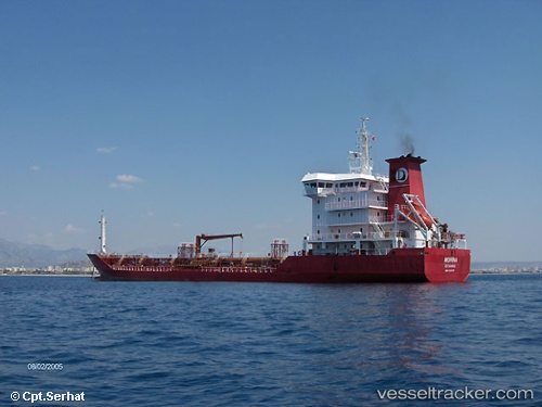
Vessel Mercury IMO: 9262170, MMSI: 273430250 Oil Products Tanker
UTC, 43.25500, 132.49158, course: 349, speed: 52.7
UTC, 43.25500, 132.49158, course: 349, speed: 52.7
2026-01-31 13:05:06 UTC, 43.26097, 132.49048, course: 313, speed: 7.8
Live AIS position:
UTC. 11 nm NE of BOLSHOY KAMEN),
updated 2026-01-31 13:05:06 UTC.
Find the position of the vessel Mercury on the map. The latter are known coordinates and path.
marine traffic ship tracker show on live map
The current position of vessel Mercury is 43.26097 lat / 132.49048 lng. Updated: 2026-01-31 13:05:06 UTCDetails:
Last coordinates of the vessel:
UTC, 43.24800, 132.50565, course: 0, speed: 52.5UTC, 43.25500, 132.49158, course: 349, speed: 52.7
UTC, 43.25500, 132.49158, course: 349, speed: 52.7
2026-01-31 13:05:06 UTC, 43.26097, 132.49048, course: 313, speed: 7.8