 vesseltracker.com
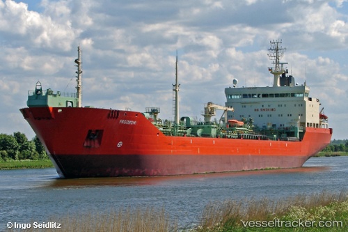
Vessel CILICIA IMO: 9171175, MMSI: 273436640 Crude Oil Tanker
UTC, 42.33833, 133.05167, course: -1, speed: 0
UTC, 42.37790, 133.05669, course: 350, speed: 0.5
2026-02-04 09:31:46 UTC, 42.55667, 132.94833, course: -1, speed: 10
Live AIS position:
UTC. 10 nm S of Kozmino Port),
updated 2026-02-04 09:31:46 UTC.
Find the position of the vessel CILICIA on the map. The latter are known coordinates and path.
marine traffic ship tracker show on live map
The current position of vessel CILICIA is 42.55667 lat / 132.94833 lng. Updated: 2026-02-04 09:31:46 UTCCurrently sailing under the flag of Russia
CILICIA built in 2000 year
Deadweight:
19996 tDetails:
Last coordinates of the vessel:
UTC, 42.31650, 133.06303, course: 339, speed: 0UTC, 42.33833, 133.05167, course: -1, speed: 0
UTC, 42.37790, 133.05669, course: 350, speed: 0.5
2026-02-04 09:31:46 UTC, 42.55667, 132.94833, course: -1, speed: 10