 vesseltracker.com
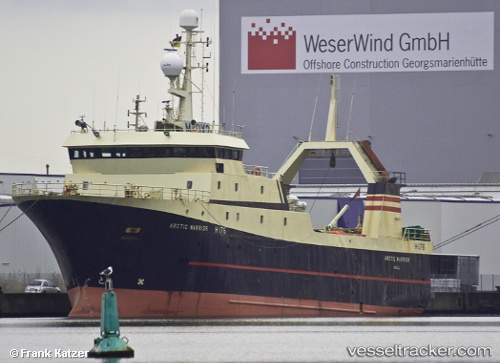
Vessel Olga IMO: 8709834, MMSI: 273437930 Fish Carrier
UTC, 47.76833, 140.06833, course: -1, speed: 2
UTC, 47.72167, 140.01334, course: -1, speed: 2
2026-02-04 15:30:01 UTC, 47.62833, 139.92833, course: -1, speed: 10
Live AIS position:
UTC. 76 nm NE of Riegersdorf),
updated 2026-02-04 15:30:01 UTC.
Find the position of the vessel Olga on the map. The latter are known coordinates and path.
marine traffic ship tracker show on live map
The current position of vessel Olga is 47.62833 lat / 139.92833 lng. Updated: 2026-02-04 15:30:01 UTCDetails:
Last coordinates of the vessel:
UTC, 47.77667, 140.11333, course: -1, speed: 2UTC, 47.76833, 140.06833, course: -1, speed: 2
UTC, 47.72167, 140.01334, course: -1, speed: 2
2026-02-04 15:30:01 UTC, 47.62833, 139.92833, course: -1, speed: 10