 vesseltracker.com
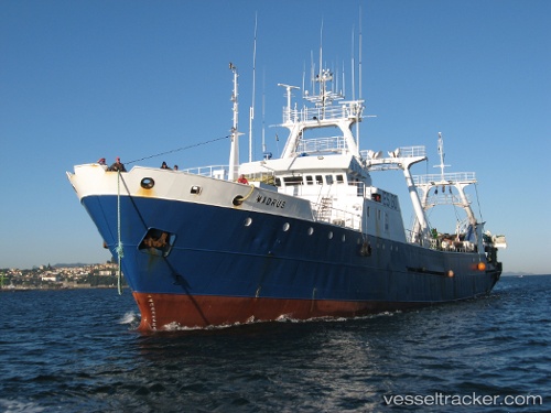
Vessel Madrus IMO: 8215053, MMSI: 276544000 Fishing Vessel
UTC, -45.33669, -60.56714, course: 20, speed: 4.6
UTC, -45.20167, -60.44167, course: -1, speed: 4
2026-02-01 13:55:26 UTC, -45.10957, -60.29537, course: 298, speed: 6.9
Live AIS position:
UTC. 234 nm SE of Rawson),
updated 2026-02-01 13:55:26 UTC.
Find the position of the vessel Madrus on the map. The latter are known coordinates and path.
marine traffic ship tracker show on live map
The current position of vessel Madrus is -45.10957 lat / -60.29537 lng. Updated: 2026-02-01 13:55:26 UTCDetails:
Last coordinates of the vessel:
UTC, -45.41462, -60.60199, course: 35, speed: 4.3UTC, -45.33669, -60.56714, course: 20, speed: 4.6
UTC, -45.20167, -60.44167, course: -1, speed: 4
2026-02-01 13:55:26 UTC, -45.10957, -60.29537, course: 298, speed: 6.9