 vesseltracker.com
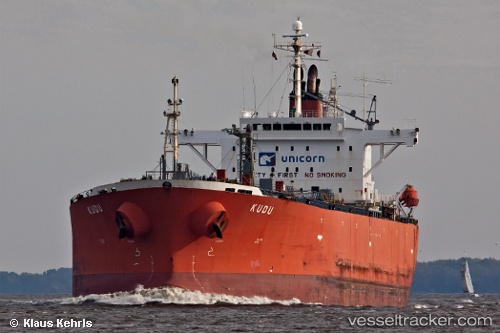
Vessel SUNRISE IMO: 9279719, MMSI: 304201000 Oil Products Tanker
UTC, 4.89755, -1.73950, course: 74, speed: 0
UTC, 4.89757, -1.73950, course: 74, speed: 0
2026-02-20 13:23:09 UTC, 4.89757, -1.73952, course: 75, speed: 0
Live AIS position:
UTC. Near Takoradi),
updated 2026-02-20 13:23:09 UTC.
Find the position of the vessel SUNRISE on the map. The latter are known coordinates and path.
marine traffic ship tracker show on live map
The current position of vessel SUNRISE is 4.89757 lat / -1.73952 lng. Updated: 2026-02-20 13:23:09 UTCCurrently sailing under the flag of Antigua Barbuda
SUNRISE built in 2004 year
Deadweight:
45948 tDetails:
Last coordinates of the vessel:
UTC, 4.89537, -1.69737, course: 273, speed: 2.1UTC, 4.89755, -1.73950, course: 74, speed: 0
UTC, 4.89757, -1.73950, course: 74, speed: 0
2026-02-20 13:23:09 UTC, 4.89757, -1.73952, course: 75, speed: 0