 vesseltracker.com
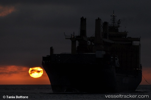
Vessel Maria Luisa IMO: 9231133, MMSI: 304656000 Multi Purpose Carrier
UTC, 56.18394, -3.00838, course: 206, speed: 0
UTC, 56.18393, -3.00839, course: 206, speed: 0
2026-02-24 06:09:40 UTC, 56.18391, -3.00838, course: 206, speed: 0
Live AIS position:
UTC. Near Methil),
updated 2026-02-24 06:09:40 UTC.
Find the position of the vessel Maria Luisa on the map. The latter are known coordinates and path.
marine traffic ship tracker show on live map
The current position of vessel Maria Luisa is 56.18391 lat / -3.00838 lng. Updated: 2026-02-24 06:09:40 UTCCurrently sailing under the flag of Antigua Barbuda
Maria Luisa built in 2003 year
Deadweight:
30490 tDetails:
Last coordinates of the vessel:
UTC, 56.18391, -3.00838, course: 206, speed: 0UTC, 56.18394, -3.00838, course: 206, speed: 0
UTC, 56.18393, -3.00839, course: 206, speed: 0
2026-02-24 06:09:40 UTC, 56.18391, -3.00838, course: 206, speed: 0