 vesseltracker.com
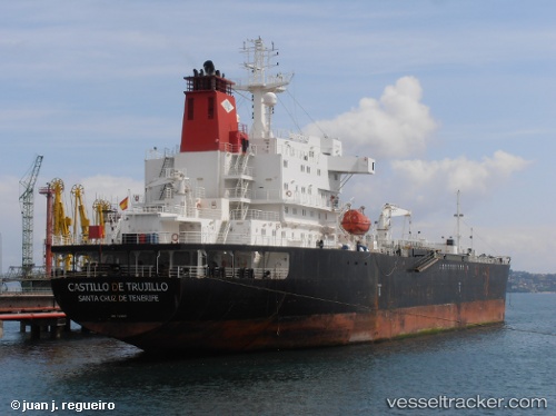
Vessel SATURN A IMO: 9293337, MMSI: 305007000 Oil/Chemical Tanker
UTC, 34.61422, 28.67765, course: 134, speed: 1.3
UTC, 34.51317, 28.56700, course: -1, speed: 1.8
2026-03-14 05:38:39 UTC, 34.49100, 28.49717, course: -1, speed: 1.8
Live Vessel SATURN A Analytics (details, animations, etc.)
Live AIS position: UTC. 87 nm SE of Kárpathos), updated 2026-03-14 05:38:39 UTC.Find the position of the vessel SATURN A on the map. The latter are known coordinates and path.
marine traffic ship tracker show on live map
The current position of vessel SATURN A is 34.49100 lat / 28.49717 lng. Updated: 2026-03-14 05:38:39 UTCCurrently sailing under the flag of Antigua and Barbuda
Details:
Last coordinates of the vessel:
UTC, 34.61422, 28.67765, course: 134, speed: 1.3UTC, 34.61422, 28.67765, course: 134, speed: 1.3
UTC, 34.51317, 28.56700, course: -1, speed: 1.8
2026-03-14 05:38:39 UTC, 34.49100, 28.49717, course: -1, speed: 1.8