 vesseltracker.com
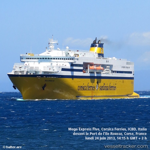
Vessel MEGA X IMO: 9035101, MMSI: 305013100 Ro-Ro/Passenger Ship
UTC, -10.76817, 40.58750, course: 60, speed: 0.2
UTC, -10.76833, 40.58800, course: 67, speed: 0.1
2026-03-06 13:41:02 UTC, -10.76850, 40.58783, course: 48, speed: 0.3
Live Vessel MEGA X Analytics (details, animations, etc.)
Live AIS position: UTC. 37 nm N of MOCIMBOA DA PRAIA), updated 2026-03-06 13:41:02 UTC.Find the position of the vessel MEGA X on the map. The latter are known coordinates and path.
marine traffic ship tracker show on live map
The current position of vessel MEGA X is -10.76850 lat / 40.58783 lng. Updated: 2026-03-06 13:41:02 UTCCurrently sailing under the flag of Antigua and Barbuda
Details:
Last coordinates of the vessel:
UTC, -10.76800, 40.58767, course: 36, speed: 0.1UTC, -10.76817, 40.58750, course: 60, speed: 0.2
UTC, -10.76833, 40.58800, course: 67, speed: 0.1
2026-03-06 13:41:02 UTC, -10.76850, 40.58783, course: 48, speed: 0.3