 vesseltracker.com
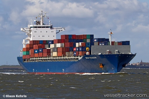
Vessel NORDIA IMO: 9423035, MMSI: 305684000 Container Ship
UTC, 18.88323, 60.37927, course: 171, speed: 15.1
UTC, 18.15149, 60.45612, course: 173, speed: 15.4
2026-02-27 16:43:59 UTC, 18.04751, 60.46863, course: 173, speed: 15.2
Live AIS position:
UTC. 170 nm SE of Masirah),
updated 2026-02-27 16:43:59 UTC.
Find the position of the vessel NORDIA on the map. The latter are known coordinates and path.
marine traffic ship tracker show on live map
The current position of vessel NORDIA is 18.04751 lat / 60.46863 lng. Updated: 2026-02-27 16:43:59 UTCCurrently sailing under the flag of Antigua and Barbuda
Details:
Last coordinates of the vessel:
UTC, 19.27746, 60.33595, course: 172, speed: 14.9UTC, 18.88323, 60.37927, course: 171, speed: 15.1
UTC, 18.15149, 60.45612, course: 173, speed: 15.4
2026-02-27 16:43:59 UTC, 18.04751, 60.46863, course: 173, speed: 15.2