 vesseltracker.com
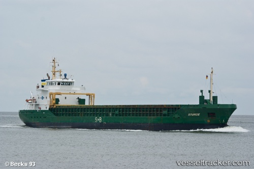
Vessel Lisa Lehmann IMO: 9325130, MMSI: 305981000 Multi Purpose Carrier
UTC, 55.48235, 14.92229, course: 78, speed: 3.8
UTC, 55.55442, 15.13854, course: 79, speed: 2.8
2026-01-31 05:29:40 UTC, 55.57391, 15.21368, course: 76, speed: 4.2
Live AIS position:
UTC. 15 nm N of Christiansø Havn),
updated 2026-01-31 05:29:40 UTC.
Find the position of the vessel Lisa Lehmann on the map. The latter are known coordinates and path.
marine traffic ship tracker show on live map
The current position of vessel Lisa Lehmann is 55.57391 lat / 15.21368 lng. Updated: 2026-01-31 05:29:40 UTCCurrently sailing under the flag of Antigua Barbuda
Lisa Lehmann built in 2004 year
Deadweight:
4507 tDetails:
Last coordinates of the vessel:
UTC, 55.41189, 14.71167, course: 66, speed: 6.3UTC, 55.48235, 14.92229, course: 78, speed: 3.8
UTC, 55.55442, 15.13854, course: 79, speed: 2.8
2026-01-31 05:29:40 UTC, 55.57391, 15.21368, course: 76, speed: 4.2