 vesseltracker.com
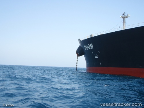
Vessel JAYA IMO: 9410387, MMSI: 306033000 Crude Oil Tanker
UTC, 25.41453, 56.76432, course: 115, speed: 0
UTC, 25.41453, 56.76432, course: 115, speed: 0
2026-02-27 14:28:06 UTC, 25.41453, 56.76432, course: -1, speed: 0
Live AIS position:
UTC. 11 nm NE of Offshore Fujairah),
updated 2026-02-27 14:28:06 UTC.
Find the position of the vessel JAYA on the map. The latter are known coordinates and path.
marine traffic ship tracker show on live map
The current position of vessel JAYA is 25.41453 lat / 56.76432 lng. Updated: 2026-02-27 14:28:06 UTCCurrently sailing under the flag of Curacao
Details:
Last coordinates of the vessel:
UTC, 25.41453, 56.76432, course: -1, speed: 0UTC, 25.41453, 56.76432, course: 115, speed: 0
UTC, 25.41453, 56.76432, course: 115, speed: 0
2026-02-27 14:28:06 UTC, 25.41453, 56.76432, course: -1, speed: 0