 vesseltracker.com
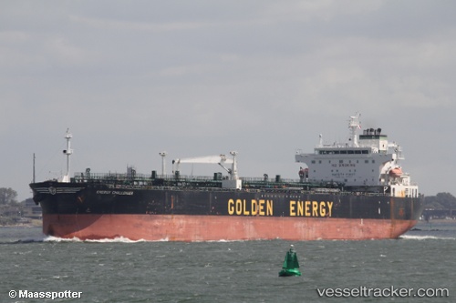
Vessel TWENTY ONE IMO: 9288265, MMSI: 306679000 Oil Products Tanker
UTC, 38.79927, 122.06016, course: 93, speed: 0
UTC, 38.79766, 122.06027, course: 49, speed: 0
2026-02-25 23:41:16 UTC, 38.80002, 122.06075, course: 140, speed: 0.1
Live AIS position:
UTC. 21 nm E of Dalian),
updated 2026-02-25 23:41:16 UTC.
Find the position of the vessel TWENTY ONE on the map. The latter are known coordinates and path.
marine traffic ship tracker show on live map
The current position of vessel TWENTY ONE is 38.80002 lat / 122.06075 lng. Updated: 2026-02-25 23:41:16 UTCCurrently sailing under the flag of Curacao
Details:
Last coordinates of the vessel:
UTC, 38.79895, 122.06019, course: 87, speed: 0UTC, 38.79927, 122.06016, course: 93, speed: 0
UTC, 38.79766, 122.06027, course: 49, speed: 0
2026-02-25 23:41:16 UTC, 38.80002, 122.06075, course: 140, speed: 0.1