 vesseltracker.com
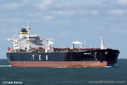
Vessel ANIKA IMO: 9305609, MMSI: 306689000 Oil Products Tanker
UTC, 12.70511, 113.10087, course: 46, speed: 10
UTC, 12.88667, 113.25333, course: -1, speed: 10
2026-02-28 04:52:57 UTC, 13.05970, 113.39491, course: 45, speed: 10.3
Live AIS position:
UTC. 212 nm E of Tan Cang Qui Nhon),
updated 2026-02-28 04:52:57 UTC.
Find the position of the vessel ANIKA on the map. The latter are known coordinates and path.
marine traffic ship tracker show on live map
The current position of vessel ANIKA is 13.05970 lat / 113.39491 lng. Updated: 2026-02-28 04:52:57 UTCCurrently sailing under the flag of Curacao
Details:
Last coordinates of the vessel:
UTC, 12.70511, 113.10087, course: 46, speed: 10UTC, 12.70511, 113.10087, course: 46, speed: 10
UTC, 12.88667, 113.25333, course: -1, speed: 10
2026-02-28 04:52:57 UTC, 13.05970, 113.39491, course: 45, speed: 10.3