 vesseltracker.com
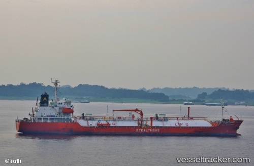
Vessel Gas Haralambos IMO: 9423126, MMSI: 308652000 Lpg Tanker
UTC, 50.70723, -1.05123, course: 105, speed: 0.2
UTC, 50.70607, -1.05076, course: 49, speed: 0.4
2026-02-04 17:41:54 UTC, 50.70754, -1.05119, course: 111, speed: 0.3
Live AIS position:
UTC. Near Bembridge),
updated 2026-02-04 17:41:54 UTC.
Find the position of the vessel Gas Haralambos on the map. The latter are known coordinates and path.
marine traffic ship tracker show on live map
The current position of vessel Gas Haralambos is 50.70754 lat / -1.05119 lng. Updated: 2026-02-04 17:41:54 UTCDetails:
Last coordinates of the vessel:
UTC, 50.70705, -1.05124, course: 92, speed: 0.3UTC, 50.70723, -1.05123, course: 105, speed: 0.2
UTC, 50.70607, -1.05076, course: 49, speed: 0.4
2026-02-04 17:41:54 UTC, 50.70754, -1.05119, course: 111, speed: 0.3