 vesseltracker.com
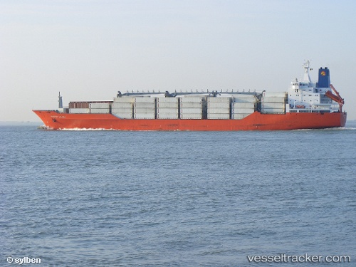
Vessel Charles Island IMO: 9059626, MMSI: 308705000 Refrigerated Cargo Ship
UTC, 14.90465, -72.53799, course: 55, speed: 17.4
UTC, 15.21551, -72.10206, course: 54, speed: 16.5
2026-01-29 21:40:45 UTC, 15.49216, -71.71778, course: 55, speed: 17
Live AIS position:
UTC. 167 nm S of Barahona),
updated 2026-01-29 21:40:45 UTC.
Find the position of the vessel Charles Island on the map. The latter are known coordinates and path.
marine traffic ship tracker show on live map
The current position of vessel Charles Island is 15.49216 lat / -71.71778 lng. Updated: 2026-01-29 21:40:45 UTCDetails:
Last coordinates of the vessel:
UTC, 14.56441, -72.99951, course: 57, speed: 16.4UTC, 14.90465, -72.53799, course: 55, speed: 17.4
UTC, 15.21551, -72.10206, course: 54, speed: 16.5
2026-01-29 21:40:45 UTC, 15.49216, -71.71778, course: 55, speed: 17