 vesseltracker.com
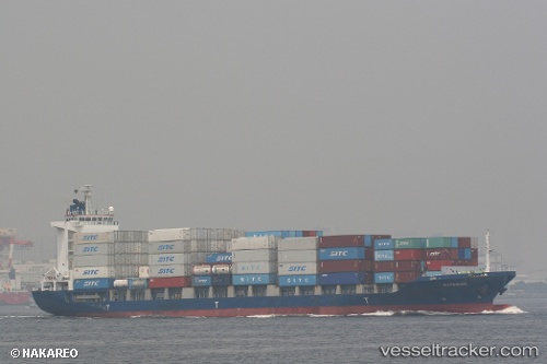
Vessel Hyperion IMO: 9403853, MMSI: 309947000 Container Ship
UTC, 31.65148, 121.24987, course: 130, speed: 0.1
UTC, 31.65127, 121.24973, course: 117, speed: 0
2026-02-02 19:22:14 UTC, 31.65062, 121.24960, course: 91, speed: 0.1
Live AIS position:
UTC. Near Taicang),
updated 2026-02-02 19:22:14 UTC.
Find the position of the vessel Hyperion on the map. The latter are known coordinates and path.
marine traffic ship tracker show on live map
The current position of vessel Hyperion is 31.65062 lat / 121.24960 lng. Updated: 2026-02-02 19:22:14 UTCCurrently sailing under the flag of Bahamas
Hyperion built in 2008 year
Deadweight:
12469 tDetails:
Last coordinates of the vessel:
UTC, 31.64912, 121.25180, course: 352, speed: 0.2UTC, 31.65148, 121.24987, course: 130, speed: 0.1
UTC, 31.65127, 121.24973, course: 117, speed: 0
2026-02-02 19:22:14 UTC, 31.65062, 121.24960, course: 91, speed: 0.1