 vesseltracker.com
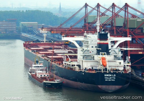
Vessel GH KAHLO IMO: 9617521, MMSI: 310839000 Cargo
UTC, 27.07387, 49.67247, course: 90, speed: 0
UTC, 27.07387, 49.67234, course: -1, speed: 0
2026-02-26 14:23:47 UTC, 27.07386, 49.67231, course: 90, speed: 0
Live AIS position:
UTC. Near AL JUBAIL),
updated 2026-02-26 14:23:47 UTC.
Find the position of the vessel GH KAHLO on the map. The latter are known coordinates and path.
marine traffic ship tracker show on live map
The current position of vessel GH KAHLO is 27.07386 lat / 49.67231 lng. Updated: 2026-02-26 14:23:47 UTCCurrently sailing under the flag of Bermuda
Details:
Last coordinates of the vessel:
UTC, 27.07390, 49.67240, course: 90, speed: 0UTC, 27.07387, 49.67247, course: 90, speed: 0
UTC, 27.07387, 49.67234, course: -1, speed: 0
2026-02-26 14:23:47 UTC, 27.07386, 49.67231, course: 90, speed: 0