 vesseltracker.com
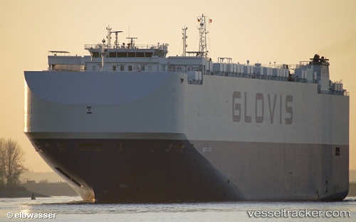
Vessel Glovis Star IMO: 9736808, MMSI: 311000459 Vehicles Carrier
UTC, 21.86500, -118.41667, course: -1, speed: 17
UTC, 21.99333, -119.13500, course: -1, speed: 18
2026-02-06 22:07:03 UTC, 22.11080, -119.80688, course: 284, speed: 17.8
Live AIS position:
UTC. 342 nm W of Shitan),
updated 2026-02-06 22:07:03 UTC.
Find the position of the vessel Glovis Star on the map. The latter are known coordinates and path.
marine traffic ship tracker show on live map
The current position of vessel Glovis Star is 22.11080 lat / -119.80688 lng. Updated: 2026-02-06 22:07:03 UTCCurrently sailing under the flag of Bahamas
Details:
Last coordinates of the vessel:
UTC, 21.73297, -117.73560, course: 285, speed: 18.1UTC, 21.86500, -118.41667, course: -1, speed: 17
UTC, 21.99333, -119.13500, course: -1, speed: 18
2026-02-06 22:07:03 UTC, 22.11080, -119.80688, course: 284, speed: 17.8