 vesseltracker.com
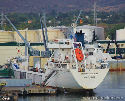
Vessel SIERRA LAUREL IMO: 9163403, MMSI: 311001187 Reefer
UTC, 40.38175, -10.10204, course: 181, speed: 9.2
UTC, 39.98457, -10.10089, course: 180, speed: 9.5
2026-02-24 06:19:29 UTC, 39.62434, -10.09933, course: 180, speed: 9.7
Live AIS position:
UTC. 37 nm NW of PENICHE),
updated 2026-02-24 06:19:29 UTC.
Find the position of the vessel SIERRA LAUREL on the map. The latter are known coordinates and path.
marine traffic ship tracker show on live map
The current position of vessel SIERRA LAUREL is 39.62434 lat / -10.09933 lng. Updated: 2026-02-24 06:19:29 UTCCurrently sailing under the flag of Bahamas
Details:
Last coordinates of the vessel:
UTC, 40.80443, -10.08638, course: 180, speed: 9.2UTC, 40.38175, -10.10204, course: 181, speed: 9.2
UTC, 39.98457, -10.10089, course: 180, speed: 9.5
2026-02-24 06:19:29 UTC, 39.62434, -10.09933, course: 180, speed: 9.7