 vesseltracker.com
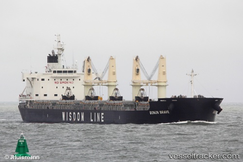
Vessel TRINIDAD PEARL IMO: 9659737, MMSI: 311001329 Cargo B
UTC, 15.87536, -88.68882, course: 335, speed: 12.4
UTC, 16.02514, -88.45430, course: 101, speed: 12.5
2026-02-25 13:34:19 UTC, 16.04341, -88.08176, course: 73, speed: 12.3
Live AIS position:
UTC. 15 nm NW of Puerto Cortes),
updated 2026-02-25 13:34:19 UTC.
Find the position of the vessel TRINIDAD PEARL on the map. The latter are known coordinates and path.
marine traffic ship tracker show on live map
The current position of vessel TRINIDAD PEARL is 16.04341 lat / -88.08176 lng. Updated: 2026-02-25 13:34:19 UTCCurrently sailing under the flag of Bahamas
Details:
Last coordinates of the vessel:
UTC, 15.69994, -88.61029, course: 64, speed: 0UTC, 15.87536, -88.68882, course: 335, speed: 12.4
UTC, 16.02514, -88.45430, course: 101, speed: 12.5
2026-02-25 13:34:19 UTC, 16.04341, -88.08176, course: 73, speed: 12.3