 vesseltracker.com
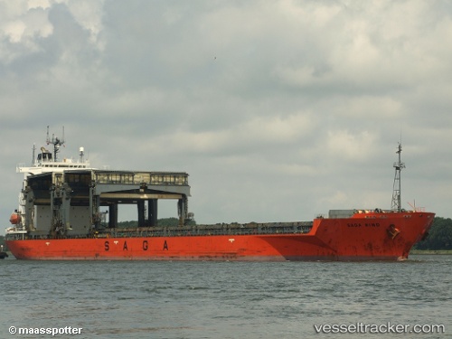
Vessel SAGA WIND IMO: 9074078, MMSI: 311001630 General Cargo
UTC, 24.09574, -23.11882, course: 10, speed: 8.9
UTC, 24.30104, -23.08617, course: 7, speed: 8.1
2026-02-28 03:44:00 UTC, 24.62448, -23.02372, course: 14, speed: 8.5
Live AIS position:
UTC. 265 nm W of Las Brujas),
updated 2026-02-28 03:44:00 UTC.
Find the position of the vessel SAGA WIND on the map. The latter are known coordinates and path.
marine traffic ship tracker show on live map
The current position of vessel SAGA WIND is 24.62448 lat / -23.02372 lng. Updated: 2026-02-28 03:44:00 UTCCurrently sailing under the flag of Bahamas
Details:
Last coordinates of the vessel:
UTC, 23.78257, -23.17399, course: 18, speed: 7.8UTC, 24.09574, -23.11882, course: 10, speed: 8.9
UTC, 24.30104, -23.08617, course: 7, speed: 8.1
2026-02-28 03:44:00 UTC, 24.62448, -23.02372, course: 14, speed: 8.5