 vesseltracker.com
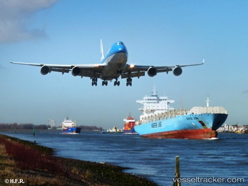
Vessel DOLE INCA IMO: 9399739, MMSI: 311001654 Container Ship
UTC, 24.76322, -74.74477, course: 175, speed: 17
UTC, 24.76322, -74.74477, course: 175, speed: 17
2026-02-25 17:45:50 UTC, 24.76322, -74.74477, course: 175, speed: 17
Live AIS position:
UTC. 45 nm NE of The Bight),
updated 2026-02-25 17:45:50 UTC.
Find the position of the vessel DOLE INCA on the map. The latter are known coordinates and path.
marine traffic ship tracker show on live map
The current position of vessel DOLE INCA is 24.76322 lat / -74.74477 lng. Updated: 2026-02-25 17:45:50 UTCCurrently sailing under the flag of Bahamas
Details:
Last coordinates of the vessel:
UTC, 34.93306, -75.16021, course: 211, speed: 15UTC, 24.76322, -74.74477, course: 175, speed: 17
UTC, 24.76322, -74.74477, course: 175, speed: 17
2026-02-25 17:45:50 UTC, 24.76322, -74.74477, course: 175, speed: 17