 vesseltracker.com
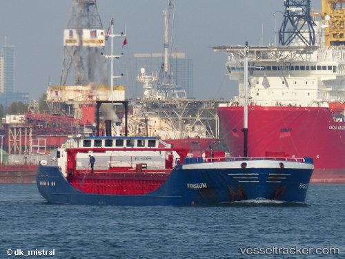
Vessel SNP SKY IMO: 9013048, MMSI: 311001672 General Cargo
UTC, 37.39261, 11.78796, course: -1, speed: 8.3
UTC, 37.39935, 11.63153, course: -1, speed: 7.8
2026-02-27 23:51:15 UTC, 37.41629, 11.27456, course: 295, speed: 7.6
Live AIS position:
UTC. 35 nm N of Qulaybiyah),
updated 2026-02-27 23:51:15 UTC.
Find the position of the vessel SNP SKY on the map. The latter are known coordinates and path.
marine traffic ship tracker show on live map
The current position of vessel SNP SKY is 37.41629 lat / 11.27456 lng. Updated: 2026-02-27 23:51:15 UTCCurrently sailing under the flag of Bahamas
Details:
Last coordinates of the vessel:
UTC, 37.38088, 12.27694, course: 280, speed: 7.2UTC, 37.39261, 11.78796, course: -1, speed: 8.3
UTC, 37.39935, 11.63153, course: -1, speed: 7.8
2026-02-27 23:51:15 UTC, 37.41629, 11.27456, course: 295, speed: 7.6