 vesseltracker.com
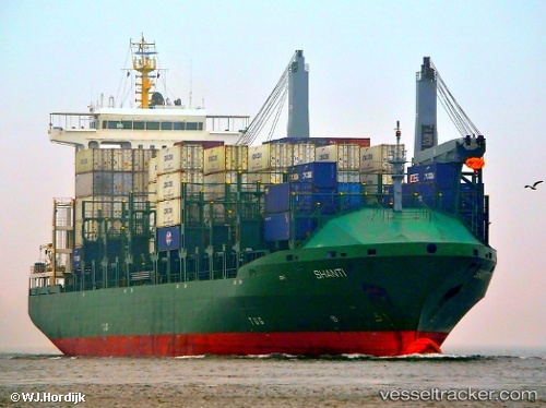
Vessel CMA CGM WEST IMO: 9396610, MMSI: 311001768 Container Ship
UTC, 40.63386, 22.90539, course: 6, speed: 0
UTC, 40.60682, 22.90580, course: 191, speed: 9.9
2026-03-17 05:36:25 UTC, 40.45496, 22.74070, course: 209, speed: 10.5
Live Vessel CMA CGM WEST Analytics (details, animations, etc.)
Live AIS position: UTC. Near Nea Mikhaniona), updated 2026-03-17 05:36:25 UTC.Find the position of the vessel CMA CGM WEST on the map. The latter are known coordinates and path.
marine traffic ship tracker show on live map
The current position of vessel CMA CGM WEST is 40.45496 lat / 22.74070 lng. Updated: 2026-03-17 05:36:25 UTCCurrently sailing under the flag of Bahamas
Details:
Last coordinates of the vessel:
UTC, 40.63381, 22.90545, course: 6, speed: 0UTC, 40.63386, 22.90539, course: 6, speed: 0
UTC, 40.60682, 22.90580, course: 191, speed: 9.9
2026-03-17 05:36:25 UTC, 40.45496, 22.74070, course: 209, speed: 10.5