 vesseltracker.com
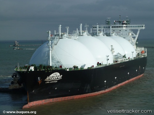
Vessel Lng Jupiter IMO: 9341689, MMSI: 311019200 Lng Tanker
UTC, 33.97424, 134.92583, course: 199, speed: 13.7
UTC, 33.36836, 134.90665, course: 194, speed: 13.9
2026-01-29 09:26:05 UTC, 33.10336, 134.83984, course: 205, speed: 11.9
Live AIS position:
UTC. 38 nm SE of KANNOURA),
updated 2026-01-29 09:26:05 UTC.
Find the position of the vessel Lng Jupiter on the map. The latter are known coordinates and path.
marine traffic ship tracker show on live map
The current position of vessel Lng Jupiter is 33.10336 lat / 134.83984 lng. Updated: 2026-01-29 09:26:05 UTCDetails:
Last coordinates of the vessel:
UTC, 34.23389, 134.98021, course: 179, speed: 8.8UTC, 33.97424, 134.92583, course: 199, speed: 13.7
UTC, 33.36836, 134.90665, course: 194, speed: 13.9
2026-01-29 09:26:05 UTC, 33.10336, 134.83984, course: 205, speed: 11.9