 vesseltracker.com
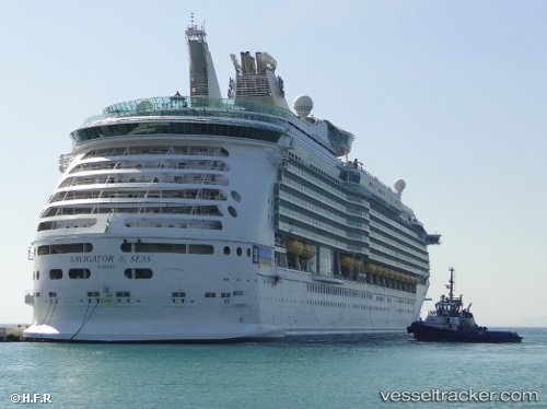
Vessel Navigator Of The Sea IMO: 9227508, MMSI: 311478000 Cruise Ship
UTC, 23.19462, -106.41300, course: 19, speed: 5
UTC, 23.19333, -106.41500, course: -1, speed: 0
2026-01-19 14:37:16 UTC, 23.19405, -106.41424, course: 200, speed: 0
Live AIS position:
UTC. Near Mazatlan),
updated 2026-01-19 14:37:16 UTC.
Find the position of the vessel Navigator Of The Sea on the map. The latter are known coordinates and path.
marine traffic ship tracker show on live map
The current position of vessel Navigator Of The Sea is 23.19405 lat / -106.41424 lng. Updated: 2026-01-19 14:37:16 UTCCurrently sailing under the flag of Bahamas
Details:
Last coordinates of the vessel:
UTC, 23.12308, -106.75701, course: 85, speed: 17UTC, 23.19462, -106.41300, course: 19, speed: 5
UTC, 23.19333, -106.41500, course: -1, speed: 0
2026-01-19 14:37:16 UTC, 23.19405, -106.41424, course: 200, speed: 0