 vesseltracker.com
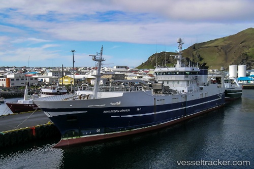
Vessel CASSANDRA 222 IMO: 9217149, MMSI: 312315000 Trawler
UTC, 1.47271, 104.02025, course: 8, speed: 4.9
UTC, 1.47271, 104.02025, course: 8, speed: 4.9
2026-03-03 01:51:43 UTC, 1.47271, 104.02025, course: 8, speed: 4.9
Live AIS position:
UTC. Near Kampung Tanjung Langsat),
updated 2026-03-03 01:51:43 UTC.
Find the position of the vessel CASSANDRA 222 on the map. The latter are known coordinates and path.
marine traffic ship tracker show on live map
The current position of vessel CASSANDRA 222 is 1.47271 lat / 104.02025 lng. Updated: 2026-03-03 01:51:43 UTCCurrently sailing under the flag of Belize
Details:
Last coordinates of the vessel:
UTC, 1.43552, 104.01310, course: 20, speed: 4.8UTC, 1.47271, 104.02025, course: 8, speed: 4.9
UTC, 1.47271, 104.02025, course: 8, speed: 4.9
2026-03-03 01:51:43 UTC, 1.47271, 104.02025, course: 8, speed: 4.9