 vesseltracker.com
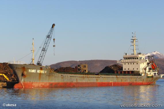
Vessel Yong Hong 9 IMO: 9571337, MMSI: 312432000 General Cargo Ship
UTC, 34.14667, 136.85167, course: -1, speed: 8
UTC, 33.91500, 136.52834, course: -1, speed: 9
2026-02-28 08:16:03 UTC, 33.65500, 136.17667, course: -1, speed: 8
Live AIS position:
UTC. 25 nm E of Minachi),
updated 2026-02-28 08:16:03 UTC.
Find the position of the vessel Yong Hong 9 on the map. The latter are known coordinates and path.
marine traffic ship tracker show on live map
The current position of vessel Yong Hong 9 is 33.65500 lat / 136.17667 lng. Updated: 2026-02-28 08:16:03 UTCDetails:
Last coordinates of the vessel:
UTC, 34.29833, 137.05833, course: -1, speed: 9UTC, 34.14667, 136.85167, course: -1, speed: 8
UTC, 33.91500, 136.52834, course: -1, speed: 9
2026-02-28 08:16:03 UTC, 33.65500, 136.17667, course: -1, speed: 8