 vesseltracker.com
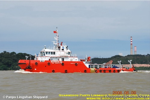
Vessel Maridive 36 IMO: 9467342, MMSI: 312541000 Offshore Support Vessel
UTC, 28.50509, 48.90682, course: 151, speed: 0.3
UTC, 28.50505, 48.90673, course: -1, speed: 0.3
2026-02-24 15:46:08 UTC, 28.47540, 48.80486, course: 251, speed: 5.8
Live AIS position:
UTC. 14 nm E of Ras Al Khafji),
updated 2026-02-24 15:46:08 UTC.
Find the position of the vessel Maridive 36 on the map. The latter are known coordinates and path.
marine traffic ship tracker show on live map
The current position of vessel Maridive 36 is 28.47540 lat / 48.80486 lng. Updated: 2026-02-24 15:46:08 UTCDetails:
Last coordinates of the vessel:
UTC, 28.49897, 48.91387, course: 259, speed: 4.9UTC, 28.50509, 48.90682, course: 151, speed: 0.3
UTC, 28.50505, 48.90673, course: -1, speed: 0.3
2026-02-24 15:46:08 UTC, 28.47540, 48.80486, course: 251, speed: 5.8