 vesseltracker.com
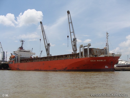
Vessel Sunny Link IMO: 9114531, MMSI: 312640000 General Cargo Ship
UTC, 14.60680, 120.95919, course: -1, speed: 0.1
UTC, 14.60681, 120.95923, course: -1, speed: 0
2026-02-06 22:02:34 UTC, 14.60681, 120.95918, course: -1, speed: 0
Live AIS position:
UTC. Near Binondo),
updated 2026-02-06 22:02:34 UTC.
Find the position of the vessel Sunny Link on the map. The latter are known coordinates and path.
marine traffic ship tracker show on live map
The current position of vessel Sunny Link is 14.60681 lat / 120.95918 lng. Updated: 2026-02-06 22:02:34 UTCDetails:
Last coordinates of the vessel:
UTC, 14.60684, 120.95922, course: -1, speed: 0UTC, 14.60680, 120.95919, course: -1, speed: 0.1
UTC, 14.60681, 120.95923, course: -1, speed: 0
2026-02-06 22:02:34 UTC, 14.60681, 120.95918, course: -1, speed: 0