 vesseltracker.com
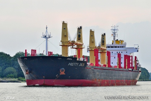
Vessel AMARELLA IMO: 9502829, MMSI: 312912000 Bulk Carrier
UTC, 37.55586, 6.94530, course: 262, speed: 11.5
UTC, 37.52569, 6.36849, course: 268, speed: 12.7
2026-02-25 15:52:11 UTC, 37.51081, 5.97063, course: 265, speed: 11.6
Live AIS position:
UTC. 12 nm N of Palomares del Rio),
updated 2026-02-25 15:52:11 UTC.
Find the position of the vessel AMARELLA on the map. The latter are known coordinates and path.
marine traffic ship tracker show on live map
The current position of vessel AMARELLA is 37.51081 lat / 5.97063 lng. Updated: 2026-02-25 15:52:11 UTCCurrently sailing under the flag of Belize
Details:
Last coordinates of the vessel:
UTC, 37.57260, 7.43589, course: 266, speed: 11.8UTC, 37.55586, 6.94530, course: 262, speed: 11.5
UTC, 37.52569, 6.36849, course: 268, speed: 12.7
2026-02-25 15:52:11 UTC, 37.51081, 5.97063, course: 265, speed: 11.6