 vesseltracker.com
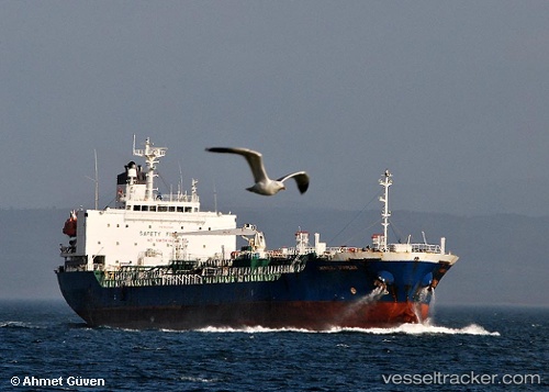
Vessel NYMPH THETIS IMO: 9232369, MMSI: 314001091 Oil/Chemical Tanker
UTC, 27.07570, 49.69040, course: 179, speed: 0
UTC, 27.07575, 49.69040, course: 179, speed: 0
2026-03-01 14:31:40 UTC, 27.07577, 49.69035, course: 179, speed: 0
Live AIS position:
UTC. Near AL JUBAIL),
updated 2026-03-01 14:31:40 UTC.
Find the position of the vessel NYMPH THETIS on the map. The latter are known coordinates and path.
marine traffic ship tracker show on live map
The current position of vessel NYMPH THETIS is 27.07577 lat / 49.69035 lng. Updated: 2026-03-01 14:31:40 UTCCurrently sailing under the flag of Barbados
Details:
Last coordinates of the vessel:
UTC, 27.07570, 49.69034, course: -1, speed: 0UTC, 27.07570, 49.69040, course: 179, speed: 0
UTC, 27.07575, 49.69040, course: 179, speed: 0
2026-03-01 14:31:40 UTC, 27.07577, 49.69035, course: 179, speed: 0