 vesseltracker.com
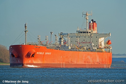
Vessel EXPLORER IMO: 9213909, MMSI: 314001096 Oil/Chemical Tanker
UTC, 25.69185, 54.92551, course: -1, speed: 0.6
UTC, 24.97856, 55.10568, course: -1, speed: 0
2026-03-01 17:21:49 UTC, 24.97856, 55.10568, course: -1, speed: 0
Live AIS position:
UTC. Near Jebel Ali Free Zone),
updated 2026-03-01 17:21:49 UTC.
Find the position of the vessel EXPLORER on the map. The latter are known coordinates and path.
marine traffic ship tracker show on live map
The current position of vessel EXPLORER is 24.97856 lat / 55.10568 lng. Updated: 2026-03-01 17:21:49 UTCCurrently sailing under the flag of Barbados
Details:
Last coordinates of the vessel:
UTC, 25.69209, 54.92835, course: 295, speed: 0.6UTC, 25.69185, 54.92551, course: -1, speed: 0.6
UTC, 24.97856, 55.10568, course: -1, speed: 0
2026-03-01 17:21:49 UTC, 24.97856, 55.10568, course: -1, speed: 0