 vesseltracker.com
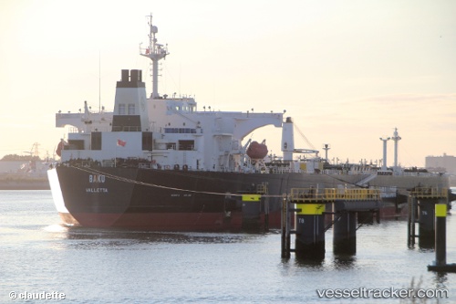
Vessel GRACEP IMO: 9252967, MMSI: 314105000 Crude Oil Tanker
UTC, 1.75423, 104.67087, course: 348, speed: 0
UTC, 1.75410, 104.67040, course: 8, speed: 0.1
2026-03-19 09:54:18 UTC, 1.75409, 104.67012, course: 12, speed: 0.2
Live Vessel GRACEP Analytics (details, animations, etc.)
Live AIS position: UTC. 39 nm NE of PENGERANG), updated 2026-03-19 09:54:18 UTC.Find the position of the vessel GRACEP on the map. The latter are known coordinates and path.
marine traffic ship tracker show on live map
The current position of vessel GRACEP is 1.75409 lat / 104.67012 lng. Updated: 2026-03-19 09:54:18 UTCCurrently sailing under the flag of Barbados
Details:
Last coordinates of the vessel:
UTC, 1.75414, 104.67087, course: 348, speed: 0UTC, 1.75423, 104.67087, course: 348, speed: 0
UTC, 1.75410, 104.67040, course: 8, speed: 0.1
2026-03-19 09:54:18 UTC, 1.75409, 104.67012, course: 12, speed: 0.2