 vesseltracker.com
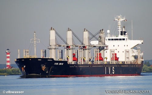
Vessel LADY MARY IMO: 9604744, MMSI: 314117000 Bulk Carrier
UTC, -6.05287, 12.19044, course: 76, speed: 10.1
UTC, -6.03644, 12.38344, course: 182, speed: 0.5
2026-02-26 12:43:34 UTC, -6.03665, 12.38100, course: 130, speed: 0
Live AIS position:
UTC. Near Banana),
updated 2026-02-26 12:43:34 UTC.
Find the position of the vessel LADY MARY on the map. The latter are known coordinates and path.
marine traffic ship tracker show on live map
The current position of vessel LADY MARY is -6.03665 lat / 12.38100 lng. Updated: 2026-02-26 12:43:34 UTCCurrently sailing under the flag of Barbados
Details:
Last coordinates of the vessel:
UTC, -6.40559, 12.00256, course: 1, speed: 11.6UTC, -6.05287, 12.19044, course: 76, speed: 10.1
UTC, -6.03644, 12.38344, course: 182, speed: 0.5
2026-02-26 12:43:34 UTC, -6.03665, 12.38100, course: 130, speed: 0