 vesseltracker.com
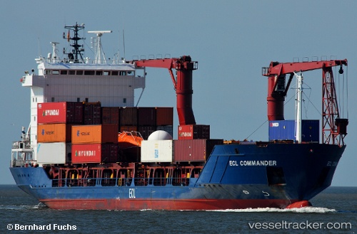
Vessel Samskip Commander IMO: 9143829, MMSI: 314292000 Container Ship
UTC, 62.35495, 5.25218, course: 237, speed: 9.6
UTC, 62.19350, 4.98146, course: 219, speed: 9.2
2026-02-09 19:46:53 UTC, 61.88901, 4.64419, course: 209, speed: 8.8
Live AIS position:
UTC. Near Iglandsvik),
updated 2026-02-09 19:46:53 UTC.
Find the position of the vessel Samskip Commander on the map. The latter are known coordinates and path.
marine traffic ship tracker show on live map
The current position of vessel Samskip Commander is 61.88901 lat / 4.64419 lng. Updated: 2026-02-09 19:46:53 UTCCurrently sailing under the flag of Barbados
Samskip Commander built in 1997 year
Deadweight:
4765 tDetails:
Last coordinates of the vessel:
UTC, 62.44804, 5.79240, course: 268, speed: 9UTC, 62.35495, 5.25218, course: 237, speed: 9.6
UTC, 62.19350, 4.98146, course: 219, speed: 9.2
2026-02-09 19:46:53 UTC, 61.88901, 4.64419, course: 209, speed: 8.8