 vesseltracker.com
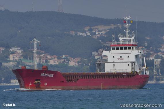
Vessel MOSTEIN IMO: 9100176, MMSI: 314727000 General Cargo
UTC, 37.33500, -5.99500, course: -1, speed: 0
UTC, 37.33500, -5.99500, course: -1, speed: 0
2026-03-17 03:25:29 UTC, 37.32061, -6.00111, course: -1, speed: 1.9
Live Vessel MOSTEIN Analytics (details, animations, etc.)
Live AIS position: UTC. Near Gelves), updated 2026-03-17 03:25:29 UTC.Find the position of the vessel MOSTEIN on the map. The latter are known coordinates and path.
marine traffic ship tracker show on live map
The current position of vessel MOSTEIN is 37.32061 lat / -6.00111 lng. Updated: 2026-03-17 03:25:29 UTCCurrently sailing under the flag of Barbados
Details:
Last coordinates of the vessel:
UTC, 37.33500, -5.99500, course: -1, speed: 0UTC, 37.33500, -5.99500, course: -1, speed: 0
UTC, 37.33500, -5.99500, course: -1, speed: 0
2026-03-17 03:25:29 UTC, 37.32061, -6.00111, course: -1, speed: 1.9