 vesseltracker.com
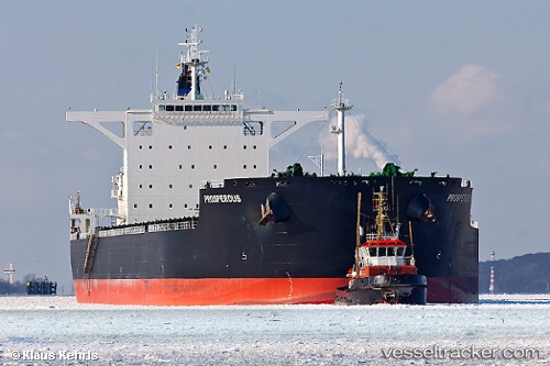
Vessel BEAM IMO: 9591741, MMSI: 314868000 Bulk Carrier
UTC, 34.12132, 23.43290, course: 287, speed: 10.8
UTC, 34.12642, 23.41234, course: 287, speed: 10.7
2026-02-24 15:50:37 UTC, 34.29749, 22.67270, course: -1, speed: 11
Live AIS position:
UTC. 74 nm SW of Paleochora),
updated 2026-02-24 15:50:37 UTC.
Find the position of the vessel BEAM on the map. The latter are known coordinates and path.
marine traffic ship tracker show on live map
The current position of vessel BEAM is 34.29749 lat / 22.67270 lng. Updated: 2026-02-24 15:50:37 UTCCurrently sailing under the flag of Barbados
Details:
Last coordinates of the vessel:
UTC, 33.99911, 23.95282, course: 287, speed: 11.2UTC, 34.12132, 23.43290, course: 287, speed: 10.8
UTC, 34.12642, 23.41234, course: 287, speed: 10.7
2026-02-24 15:50:37 UTC, 34.29749, 22.67270, course: -1, speed: 11