 vesseltracker.com
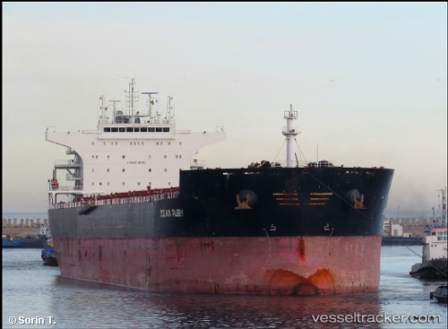
Vessel GREY WHALE IMO: 9498705, MMSI: 314910000 Bulk Carrier
UTC, 25.10985, 35.83212, course: -1, speed: 11.6
UTC, 24.84833, 36.01833, course: -1, speed: 11
2026-02-27 03:27:02 UTC, 24.49500, 36.27167, course: -1, speed: 12
Live AIS position:
UTC. 63 nm SW of Umm Lajj),
updated 2026-02-27 03:27:02 UTC.
Find the position of the vessel GREY WHALE on the map. The latter are known coordinates and path.
marine traffic ship tracker show on live map
The current position of vessel GREY WHALE is 24.49500 lat / 36.27167 lng. Updated: 2026-02-27 03:27:02 UTCCurrently sailing under the flag of Barbados
Details:
Last coordinates of the vessel:
UTC, 25.35500, 35.65333, course: -1, speed: 11UTC, 25.10985, 35.83212, course: -1, speed: 11.6
UTC, 24.84833, 36.01833, course: -1, speed: 11
2026-02-27 03:27:02 UTC, 24.49500, 36.27167, course: -1, speed: 12