 vesseltracker.com
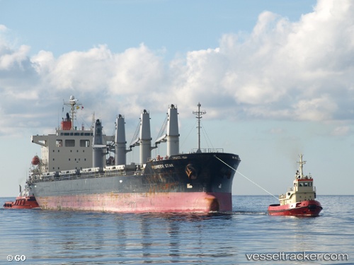
Vessel DSM ROSE IMO: 9303601, MMSI: 314922000 Bulk Carrier
UTC, 54.60948, 20.37540, course: 94, speed: 59.9
UTC, 54.60948, 20.37540, course: 94, speed: 59.9
2026-02-25 05:11:11 UTC, 54.69220, 20.20953, course: 94, speed: 0.1
Live AIS position:
UTC. Near SVETLY),
updated 2026-02-25 05:11:11 UTC.
Find the position of the vessel DSM ROSE on the map. The latter are known coordinates and path.
marine traffic ship tracker show on live map
The current position of vessel DSM ROSE is 54.69220 lat / 20.20953 lng. Updated: 2026-02-25 05:11:11 UTCCurrently sailing under the flag of Barbados
Details:
Last coordinates of the vessel:
UTC, 54.68973, 20.28930, course: 94, speed: 41.1UTC, 54.60948, 20.37540, course: 94, speed: 59.9
UTC, 54.60948, 20.37540, course: 94, speed: 59.9
2026-02-25 05:11:11 UTC, 54.69220, 20.20953, course: 94, speed: 0.1