 vesseltracker.com
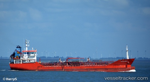
Vessel DICLE DENIZ IMO: 9464273, MMSI: 314969000 Oil/Chemical Tanker
UTC, 40.90914, 28.67182, course: 218, speed: 9
UTC, 40.86525, 28.37620, course: -1, speed: 9.5
2026-03-01 12:12:52 UTC, 40.81524, 27.92696, course: -1, speed: 9.6
Live AIS position:
UTC. Near Marmara Ereglisi),
updated 2026-03-01 12:12:52 UTC.
Find the position of the vessel DICLE DENIZ on the map. The latter are known coordinates and path.
marine traffic ship tracker show on live map
The current position of vessel DICLE DENIZ is 40.81524 lat / 27.92696 lng. Updated: 2026-03-01 12:12:52 UTCCurrently sailing under the flag of Barbados
Details:
Last coordinates of the vessel:
UTC, 40.96030, 28.73777, course: 70, speed: 0UTC, 40.90914, 28.67182, course: 218, speed: 9
UTC, 40.86525, 28.37620, course: -1, speed: 9.5
2026-03-01 12:12:52 UTC, 40.81524, 27.92696, course: -1, speed: 9.6