 vesseltracker.com
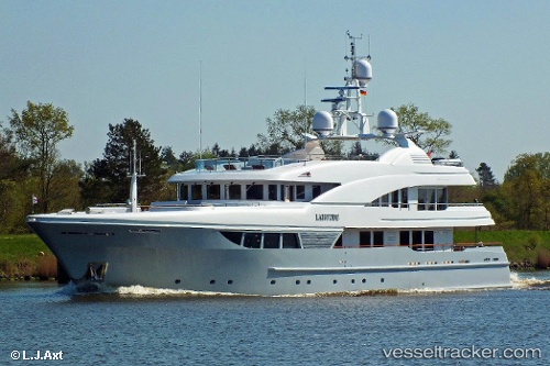
Vessel LADY B IMO: 1009168, MMSI: 319030200 Yacht
UTC, 8.63750, -83.17057, course: 35, speed: 0
UTC, 8.63751, -83.17055, course: -1, speed: 0
2026-02-26 19:35:32 UTC, 8.63752, -83.17055, course: -1, speed: 0
Live AIS position:
UTC. Near Golfito),
updated 2026-02-26 19:35:32 UTC.
Find the position of the vessel LADY B on the map. The latter are known coordinates and path.
marine traffic ship tracker show on live map
The current position of vessel LADY B is 8.63752 lat / -83.17055 lng. Updated: 2026-02-26 19:35:32 UTCCurrently sailing under the flag of Cayman Islands
Details:
Last coordinates of the vessel:
UTC, 8.63749, -83.17057, course: 36, speed: 0UTC, 8.63750, -83.17057, course: 35, speed: 0
UTC, 8.63751, -83.17055, course: -1, speed: 0
2026-02-26 19:35:32 UTC, 8.63752, -83.17055, course: -1, speed: 0