 vesseltracker.com
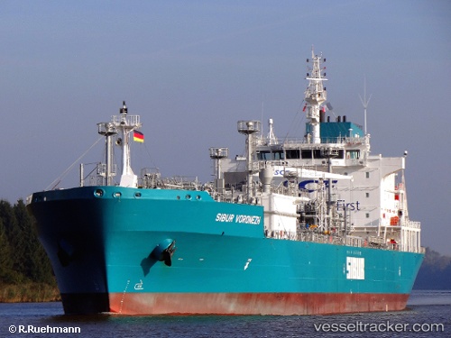
Vessel ALKAID IMO: 9655509, MMSI: 319302900 Lpg Tanker
UTC, 32.90167, 13.19833, course: -1, speed: 0
UTC, 32.90183, 13.19895, course: 338, speed: 0
2026-02-23 02:31:53 UTC, 32.90183, 13.19897, course: 338, speed: 0
Live AIS position:
UTC. Near Tarabulus),
updated 2026-02-23 02:31:53 UTC.
Find the position of the vessel ALKAID on the map. The latter are known coordinates and path.
marine traffic ship tracker show on live map
The current position of vessel ALKAID is 32.90183 lat / 13.19897 lng. Updated: 2026-02-23 02:31:53 UTCCurrently sailing under the flag of Cayman Islands
Details:
Last coordinates of the vessel:
UTC, 32.90185, 13.19895, course: 338, speed: 0UTC, 32.90167, 13.19833, course: -1, speed: 0
UTC, 32.90183, 13.19895, course: 338, speed: 0
2026-02-23 02:31:53 UTC, 32.90183, 13.19897, course: 338, speed: 0